|
Over 30 years of
surveying applications! call: +30
69 32 79 41 12 email:
ngsoft@teemail.gr
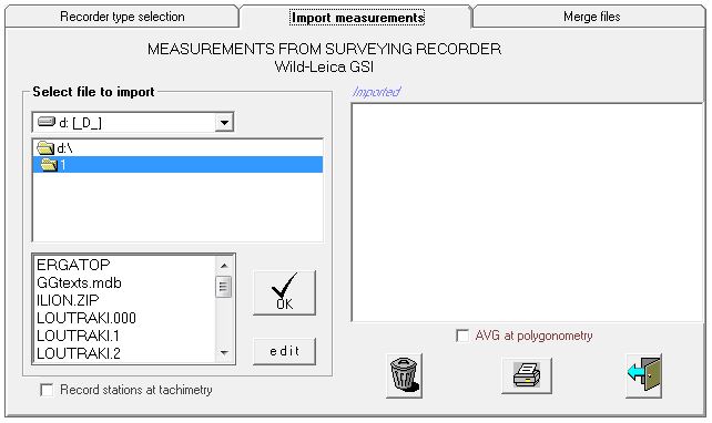
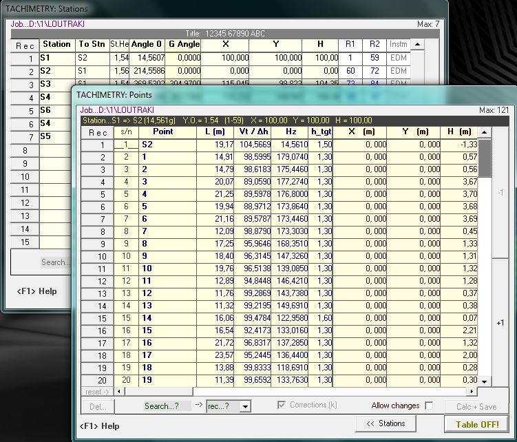
Measurements can be imported from any surveying recorder or total
station
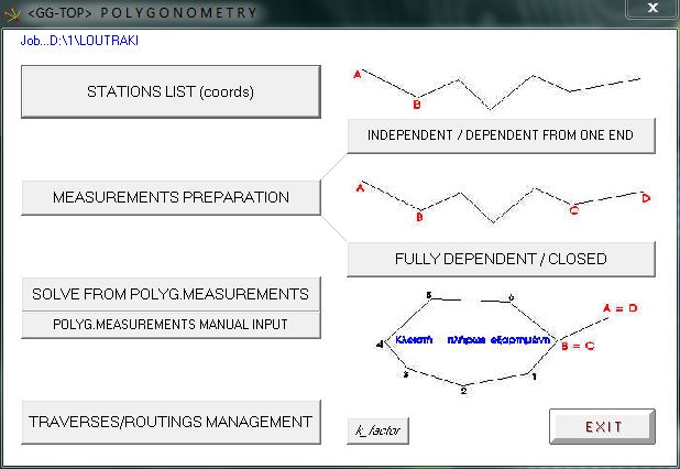
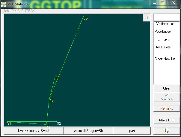
Traverses can be done from outdoors recorder’s data or manually
Graphical screen for making traverses
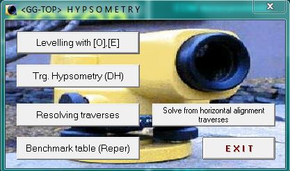
Menu for Hypsometry Elevations can be calculated from horiz.
Traverses (auto) or manually
TACHIMETRY: STATIONS – POINTS /
OBSERVATIONS
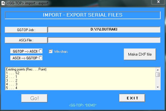
Calculated data are ready to be exported to serial (ascii) or dxf file Also, an ascii file with X,Y,Z can be
imported to GGTOP
|